Abstract
Agricultural Land Information System
Briefly, there was an issue on fundamental differences of reliability on statistical data among ASEAN member countries. It obviously appears that the implementation of statistical sample survey to used proper framework to produce accuracy data. However, chronic lack of labour and budget on statistic task with shortage of staff experience would be considered as the main factors of blocking the conduction of sample survey. Therefore, AFSIS Expert has considered a tool by using personal computer (PC) to make an area framework, estimate agricultural land area, and developed the statistical system called Agricultural Land Information System (ALIS) which is a new and epoch-making area survey system using area mesh frame for countries which agricultural statistics survey are developing. ALIS is in turn enabling to get area data with a small number of labour, low budgets based, and sustainable. ALIS has been developing with cooperation of NTT Data group.
Agricultural Land Information System
The consideration for making of area framework in ALIS
Making of area mesh by ALIS
Verification on number of first sample in ALIS
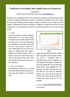
Verification of excluding small sample from framework
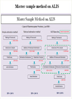
Consideration of statistical accuracy on Master Sample Method
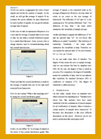
Accuracy calculation on area sample survey
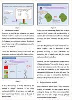
Making of planted area of minor crops by using ALIS
Stratified sampling by ALIS