
News

AFSIS Strengthens Capacity in Rice Area Estimation through INAHOR In-Country Workshop

avatar
itstaff1
24/09/2026
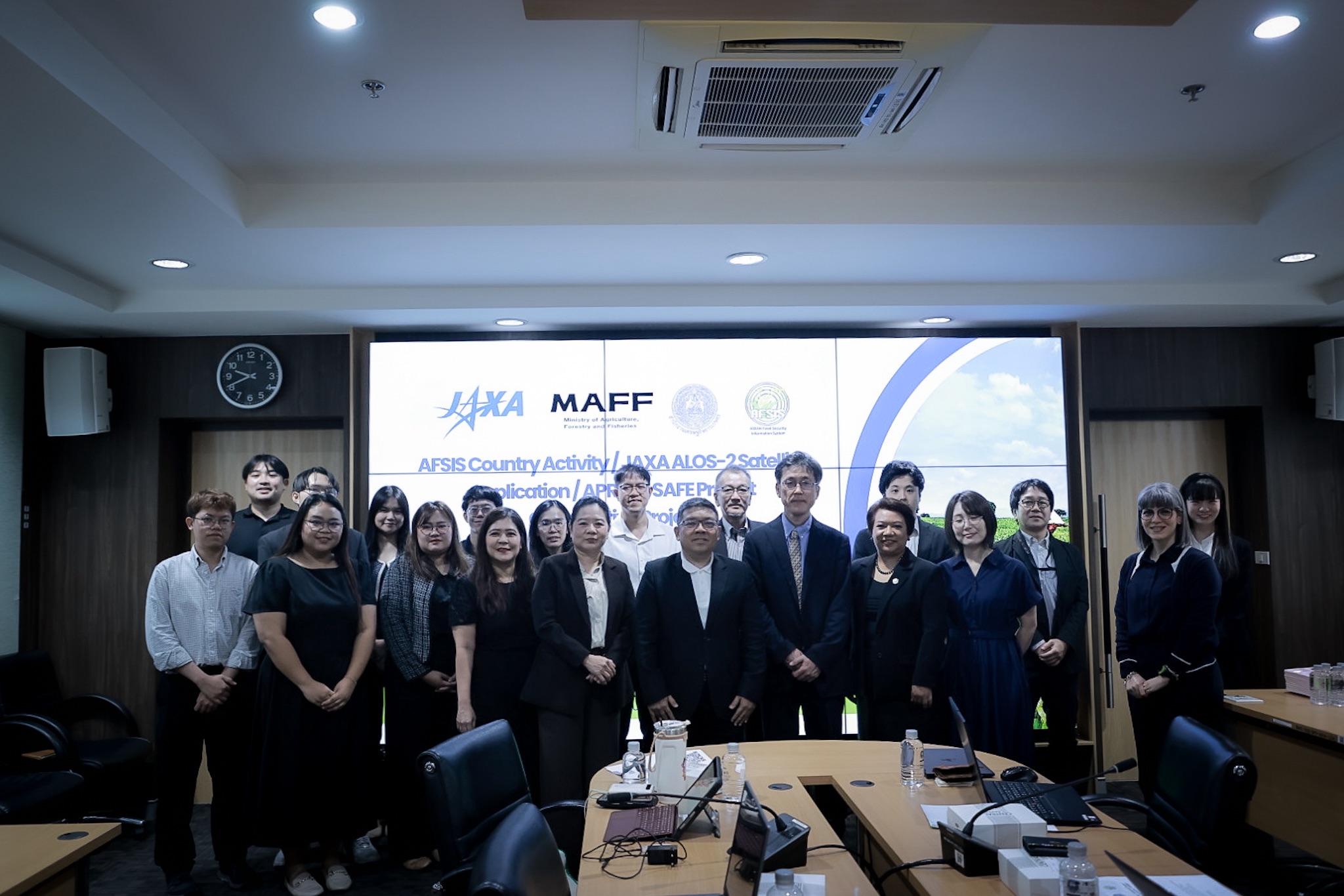
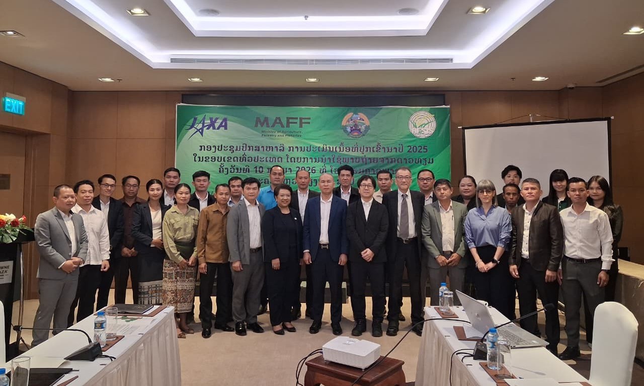
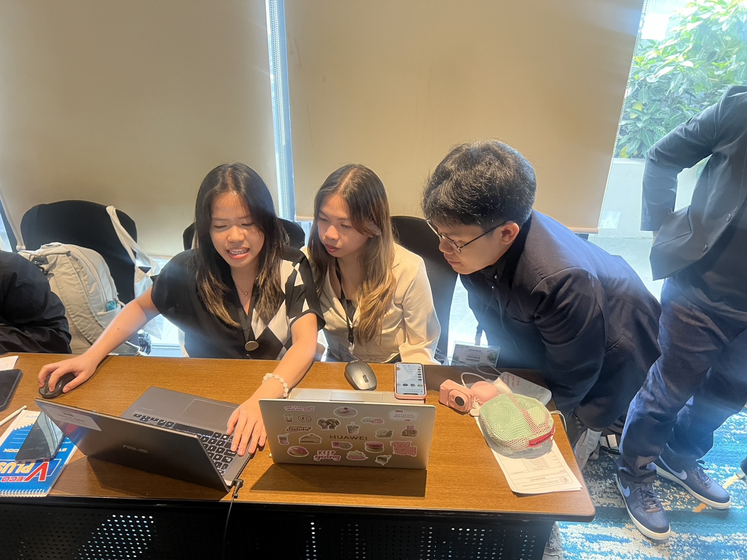
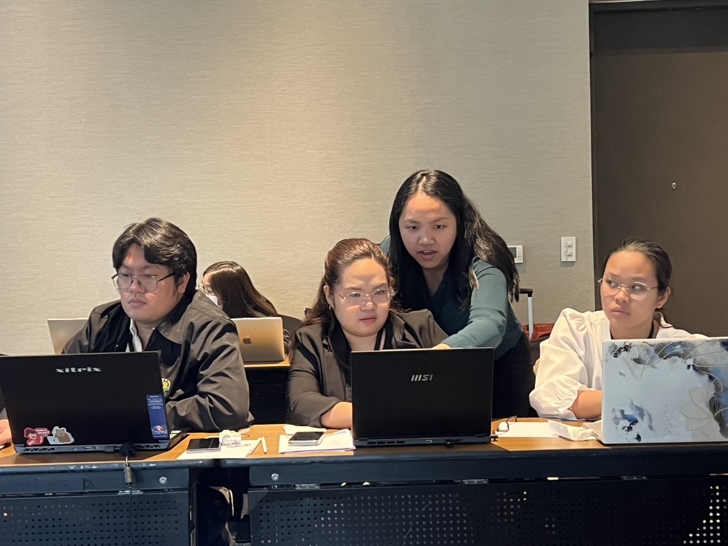
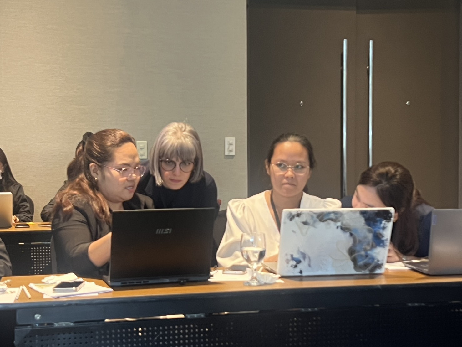
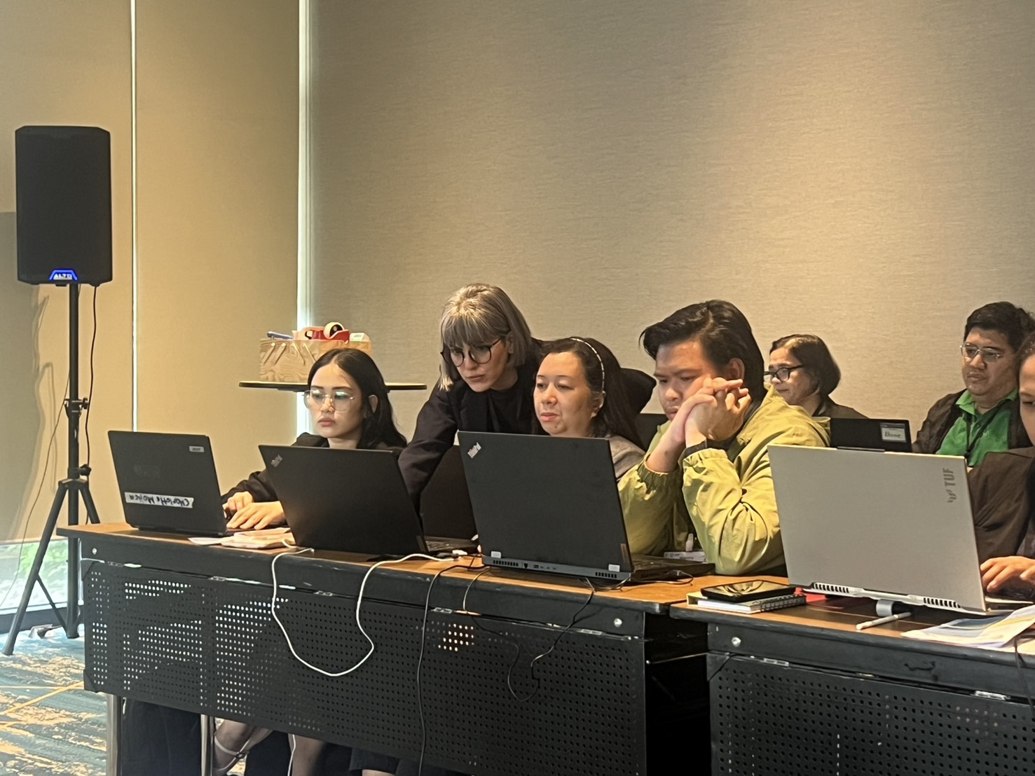
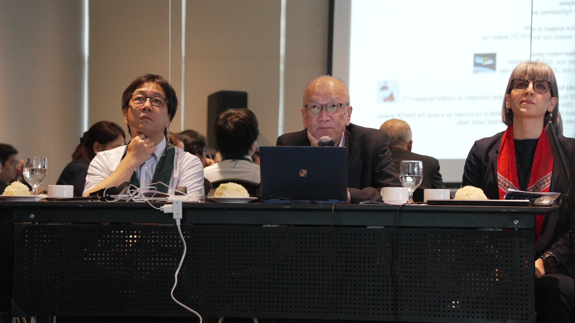
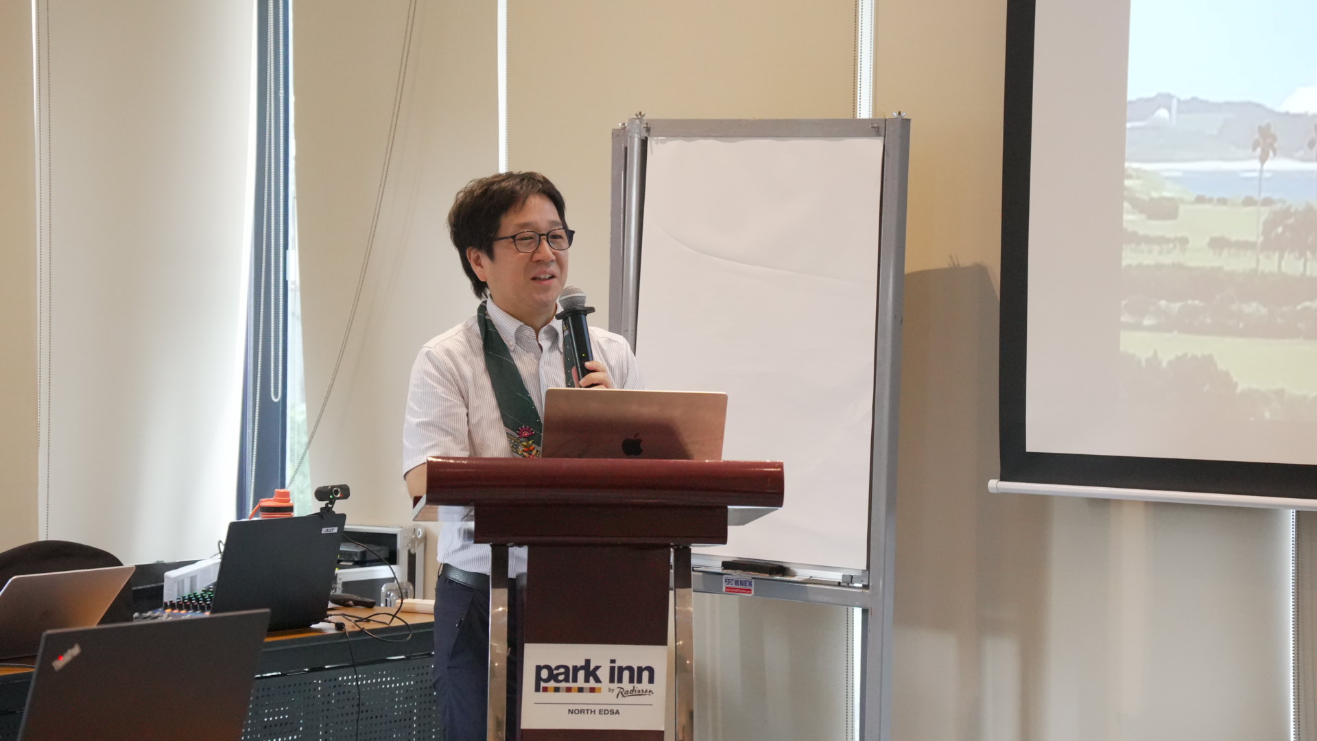
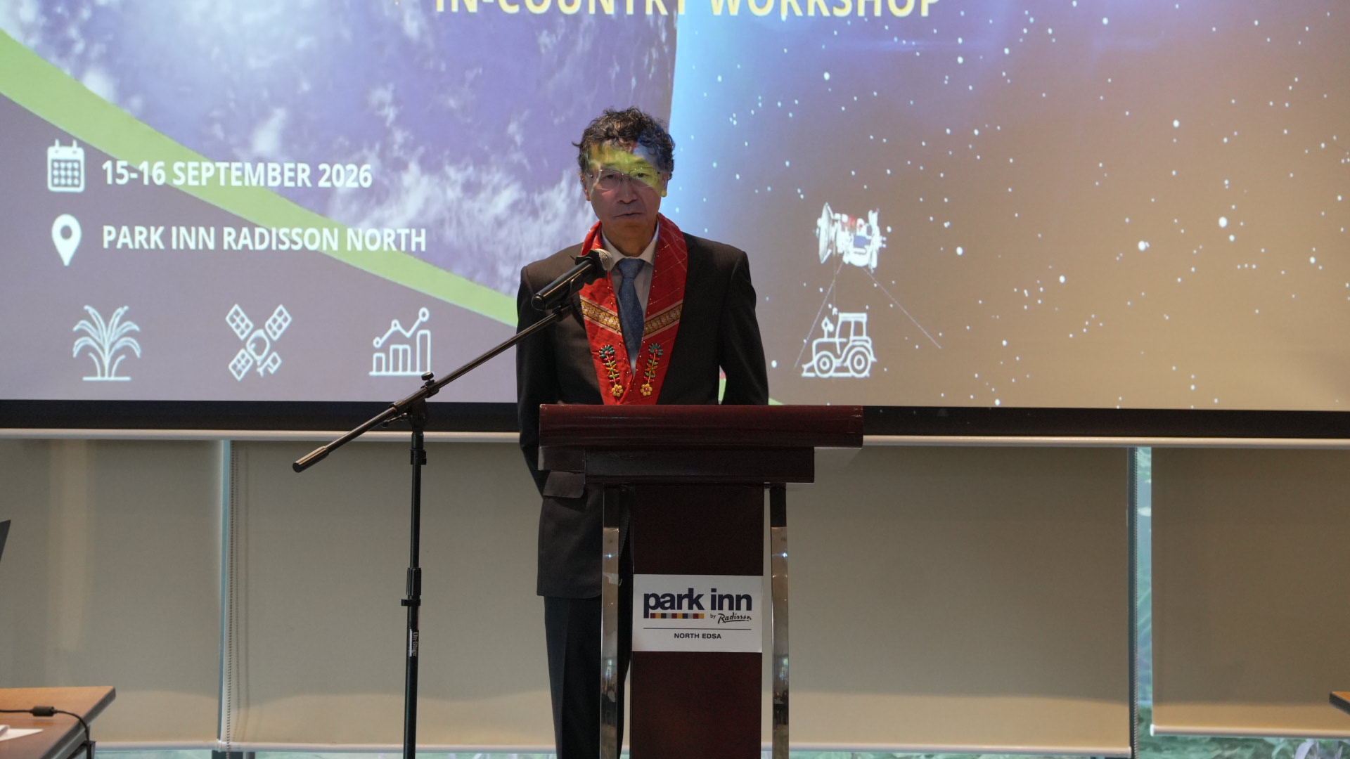
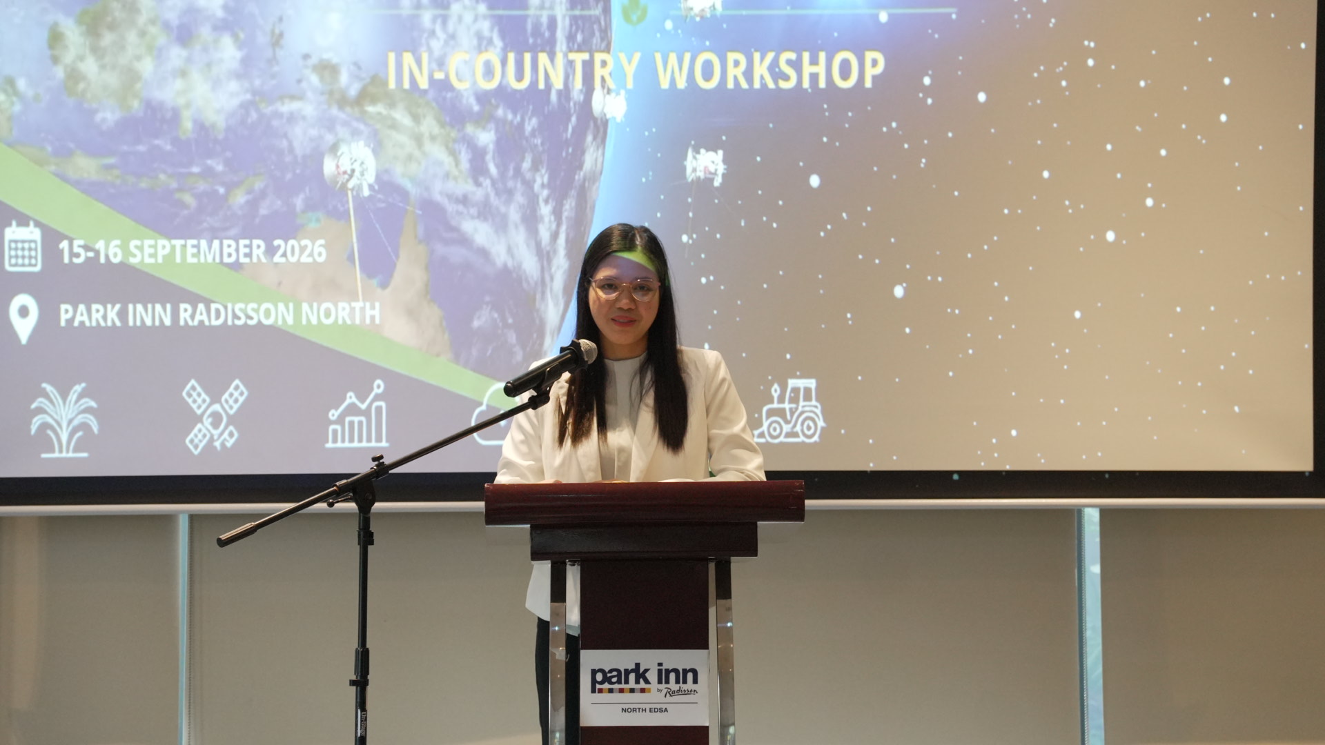
From 15–16 September 2026, the AFSIS Secretariat, in collaboration with the Japan Aerospace Exploration Agency (JAXA), Remote Sensing Technology Center of Japan (RESTEC), Ministry of Agriculture, Forestry and Fisheries (MAFF) Japan, and the Philippine Statistics Authority (PSA), conducted the “Workshop on Promote rice planted area and production estimation using space-based technologies in the Philippines” at Park Inn by Radisson North EDSA, Quezon City, Manila, the Philippines. The opening session featured remarks from Ms. Rachel C. Lacsa, Assistant National Statistician, Sectoral Statistics Office, PSA; Mr. Yasuhiro Miyake, AFSIS Japanese Expert; and Dr. Kei Oyoshi, Senior Researcher, JAXA. The workshop aimed to strengthen technical capacity in the application and utilization of satellite technology for rice planted area and production estimation, including the use of ALOS-2 and Sentinel-2 satellite data. The activities also supported the application of the INAHOR (INternational Asian Harvest mOnitoring system for Rice) for agricultural monitoring. The programme featured lectures, demonstrations, and hands-on training on INAHOR, covering training data preparation, rice map creation, satellite image analysis, data export, and visualization. Participants also exchanged technical experiences and discussed the characteristics and practical applications of INAHOR for rice monitoring. The workshop highlighted the importance of regional and bilateral technical cooperation in promoting the use of Earth observation and space-based technologies to improve the accuracy and efficiency of agricultural statistics. With active participation and cooperation from all attendees, the workshop concluded successfully and contributed to strengthening technical capacity for satellite-based rice monitoring and estimation in the Philippines.
Copied to clipboard!

Recent Article